Example: Community map
This is an example of a community map from Indonesia which maps local resources. It was made in September 2005.
From top to bottom, the table on the right reads: sealed road, river, local residence, dry farming land, sports field, school, community health centre, mosque, cemetery.

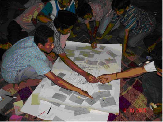
This is a photo of some people of Muneng, Indonesia making a community map, October, 2005.
Aseem, in Delhi, worked with a group from the community in Seelampur to create the community map below.
Aseem wrote in his field note:
I tried to involve different kinds of people so that I could involve different opinions. The people who guided us in making the map were from a range of occupations such as technical workers, musical instrument makers, accountants, and students from school and also students from colleges. There was also a local social worker and journalist present.
We tried to study the infrastructure and the living styles of the area of Seelampur and the nearby areas. Seelampur and the nearby areas are made up of small Muslim dominated pockets such as Jafrabed, Chauhan Bangar and Welcome. Hindu dominated pockets are Brahampuri and Maujpur. Mixed communities are found in Gautampuri, Seelampur, Yamuna Vihar and Janta colony.
The communities live in ghettos here and on the mapping I have tried to show urban poverty from various aspects of these areas like the status of women in the mapping. Apart from this there are other issues such as health, education, housing, employment, transportation, migrant dwelling, banks, post offices, political zones, government and private offices, regional.
From this mapping exercise I learned that they needed a place for social gatherings and entertainment, like open parks and cinemas and also good schools especially for the arts and science subjects.
